Daniel Monleón, professor of Urbanism at the CEU Cardenal Herrera University, has defended his doctoral dissertation last January with the title “Fuzzy landscapes. The project of the peri-urban agriculture in the Metropolitan Area of Valencia”, where a new tool for a better integration of the countryside and the city is developed.
The Levante newspaper has just published an article about this new work. We congratulate our colleague for the excellent result.
Resumen
The landscapes of border, of transition between opposing territories, raised undeniable interest, from different disciplines such as urban geography, urban planning, architecture, sociology, photography or cinema.
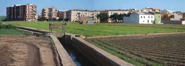
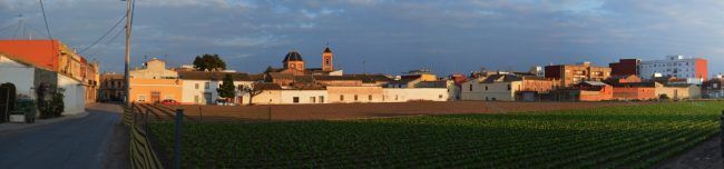
These ambiguous borders, transition between the countryside and the city, include, however, the idea of limit, often blurred, diffuse, between rural and urban areas comprising what can be termed urban edge.
On the one hand the appearance in the 70s of Urban Design as a new discipline and a methodological tool capable of taking charge of the shape of the city and its public space design, and on the other hand the long period of crisis of urban planning that started at the beginning of the 90s, in which the instrumental character of the Plan gained a greater importance than its projective component, both issues brought the current need to value the discipline of urban design in urban planning processes, and in particular in peri-urban areas.
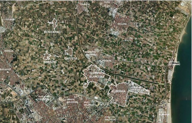
With this premise, the present work defines a series of characterizing patterns of peri-urban form that will assess the adequacy of the open fields and the city relationship, from the point of view of functional, visual and landscape integration of urban edges in the agricultural land that surrounds them, focusing the study on peri-urban areas in the North of the Metropolitan Area of Valencia belonging to a characteristic, unique and ancient agricultural area known as Huerta de Valencia, whose historic, scenic and cultural values have already been recognized by the regional government through the Territorial Action Plan for the Protection of “Huerta de Valencia”.
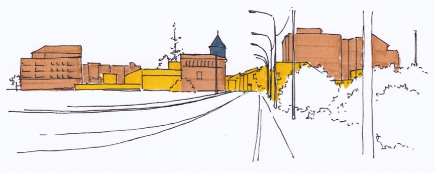
These patterns are defined from two complementary visions. Firstly, focus the gaze from the city toward the field, evaluating the urban edges properties such as: rural-urban interpenetration, walkability, permeability, rural-urban connectivity, visual relationship and geometric sharpness, to focus the gaze, then from the countryside to the city, in this case assessing the visibility and landscape integration variables.
Finally, and from the necessary convergence from the fields of geography, sociology, urban planning and landscape, this paper has sought to combine the disciplines of Urban Design and the Landscape Architecture, noting the need to continue rehearsing new project formulas and new instruments, riding between the urban project and the territorial and landscape project, aimed at recovering the balance and the necessary symbiosis between the agriculture fields and the city.