When you’re born and raised in the flattest state in the U.S. mountains are absolutely mesmerizing and jaw dropping to one (I’m sure we can all agree). And with Valencia’s beautiful weather year-round how could you not want to go hiking? Below you have a list of wonderful hiking trails within the community of Valencia. These are just a few to say the least and in no specific order.
 El Arcs d’Atanços or Els Arcs. Located in the province of Alicante. This hike is known for its arches and spectacular views. It’s situated in the Paraje Natural Municipal Els Arcs. You can reach this hike by train or bus within 2-2.5 hours.
- Barranc de l’infern or Barranco del Infierno. Located in the northern part of Alicante. It is also known as La Catedral del Senderismo. It’s name is given from it being a hiking route with over 6,800 steps!
- Mirador Garbí is a hidden gem situated in the Natural Park of Serra Calderona. Once you reach the top you can witness stunning greenery views as well as the ocean. It is only a 40 minute bus ride away from Valencia!
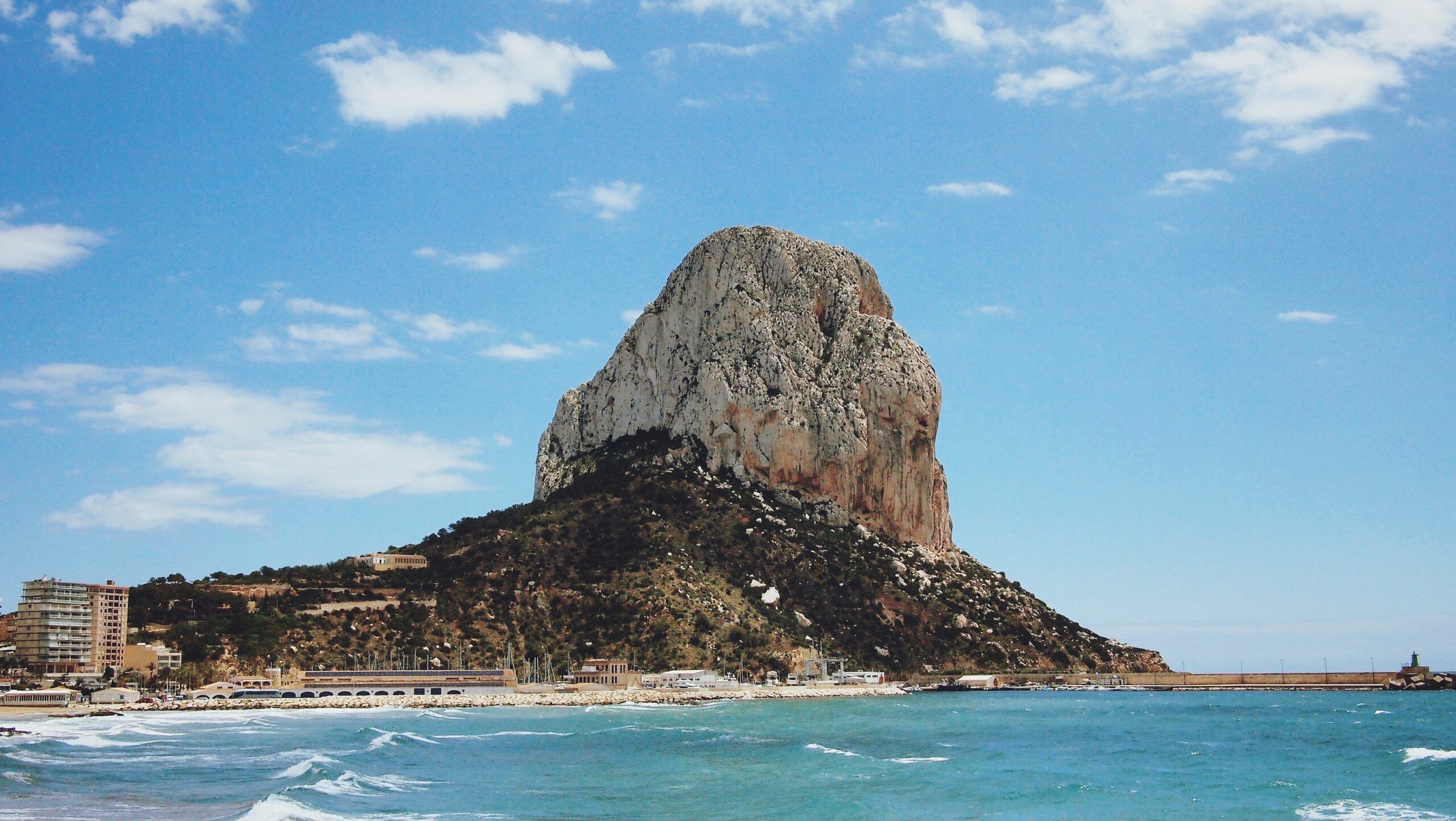
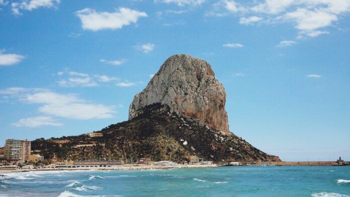
- Natural Park of Penyal d’lfac is maybe my favorite hike thus far. It is located in Calpe, Alicante. From above you can see incredible views of the blue ocean on one side and on the other, city views. What makes it even better is that the beach is at the bottom waiting for you to take a refreshing dip!
- Puig Campana (Bell Hill) is located in the southeast of Spain in the province of Alicante. With an altitude of 1,406 metres, it is the 2nd highest peak in Alicante! The Bell Hill is situated in the municipality of Finestrat. By car its only 1.5 hours away, bus or train will take longer ranging from 4-5 hours.
- Peña Cortada Roman Aqueduct in Calles & Chelva. It’s one of Valencia’s most popular hiking trails. You begin the trail in Calles and with this link you’ll have all the information needed to hike the Peña Cortada trail. It’s known for its incredible Roman Ruins.
- Ruta de Los Calderones/Puentes Colgantes (suspension bridges) located in Chulilla. You can reach this hike by car and park it in Ecoparque where you will begin the hike. The suspension bridges hang above the Turia River Canyon. Throughout this hike you can also come across Charco Azul (blue puddle) where you can freshen up.
- Pico de Benicadell is a natural border between the provinces of Valencia and Alicante. If you’re lucky enough with clear skies you can see Ibiza from the top. It is located in Beniatjar The top of the mountain is 1,104 meters above sea level. On clear days you can see the ocean. On cloudier days you can see how the mountains piercing through the clouds.
I hope this list guides you in the right direction to enjoy hiking in Valencia. Be sure to stay hydrated! Don’t forget to pack some bocadillos and fruits to have a nice lunch with an even better view.


